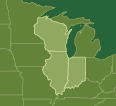
Welcome to the website of “Natural Connections: Green Infrastructure in Wisconsin, Illinois and Indiana,” a partnership between the Center for Neighborhood Technology and Openlands. Green infrastructure is the interconnected network of open spaces and natural areas that provides wildlife habitat and recreational opportunities and maintains the sustainability of our region. CNT and Openlands collaborated on this effort to support natural resource protection and land preservation efforts across parts of Wisconsin, Illinois and Indiana. Funding for this project was generously provided by The Joyce Foundation.
On this site, you can:
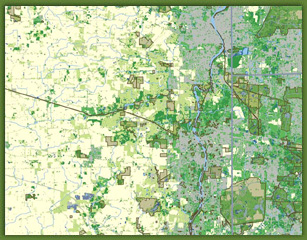
- Create and download your own Green Infrastructure maps online using our interactive map.
- Request a copy of our 2007 publication “Natural Connections: An Illustrated Guide to Green Infrastructure Mapping”, which provides mapping tips for the interactive mapping tool and shows sample maps which demonstrate green infrastructure themes, policies or systems.
- View and download “Natural Connections: Green Infrastructure in Wisconsin, Illinois and Indiana”, a poster-size map of the natural resources in 14 counties.
- View and download a map showing opportunities for cross-border acquisition, restoration and management along the Wisconsin-Illinois and Illinois-Indiana borders.
- View and download green infrastructure maps of the 19 counties studied.
- View and download more than 400 datasets of the green infrastructure assets in our region.
- Learn more about the project, the project leaders and partner organizations.
If you are looking for the local-global Green Map System, click here.


